


Aerial & Drone Content Services
We capture authentic visuals that strengthen your brand and tell your story.
Aerial visuals that help businesses understand, present, and communicate scale, layout, and location.
Drone content isn’t just about “getting a shot from above” — it’s about showing how things exist within a space.
At Puffin Media, we use aerial video and photography to help businesses communicate scale, geography, and structure in a way that ground-level visuals can’t achieve. From construction sites and land development to tourism regions and infrastructure, drone content adds context that helps people understand the bigger picture.
We work across Southwestern Ontario delivering aerial content that supports planning, marketing, and documentation.
Understanding Scale
From Above
This section should feel different from “Photography = presentation” and “Video = storytelling.”
Drone = spatial understanding
Aerial content helps reveal patterns, layouts, distances, and relationships between spaces that aren’t visible from the ground.
This makes it especially valuable for:
- large properties
- construction sites
- land development
- regional tourism areas
- infrastructure projects
Where Aerial Content Becomes Essential





Working Across Southwestern Ontario
We support organizations across:
- Municipal planning and public works
- Construction and infrastructure
- Tourism and regional promotion
- Real estate and land development
- Agriculture and rural industries
- Events and public gatherings
Every aerial project is shaped around the purpose of the location — not just the visuals.
Why Aerial Perspective Matters
It Shows What Ground-Level Can’t
You see full layouts, distances, and environmental relationships in one frame.
It Improves Decision Making
Useful for planning, reporting, and understanding large-scale projects.
It Adds Geographic Context
Perfect for showcasing where something is — not just what it looks like.
It Strengthens Regional Marketing
Helps promote locations, tourism areas, and developments more effectively.
It Creates Reference Documentation
Useful for tracking change over time in a consistent visual format.
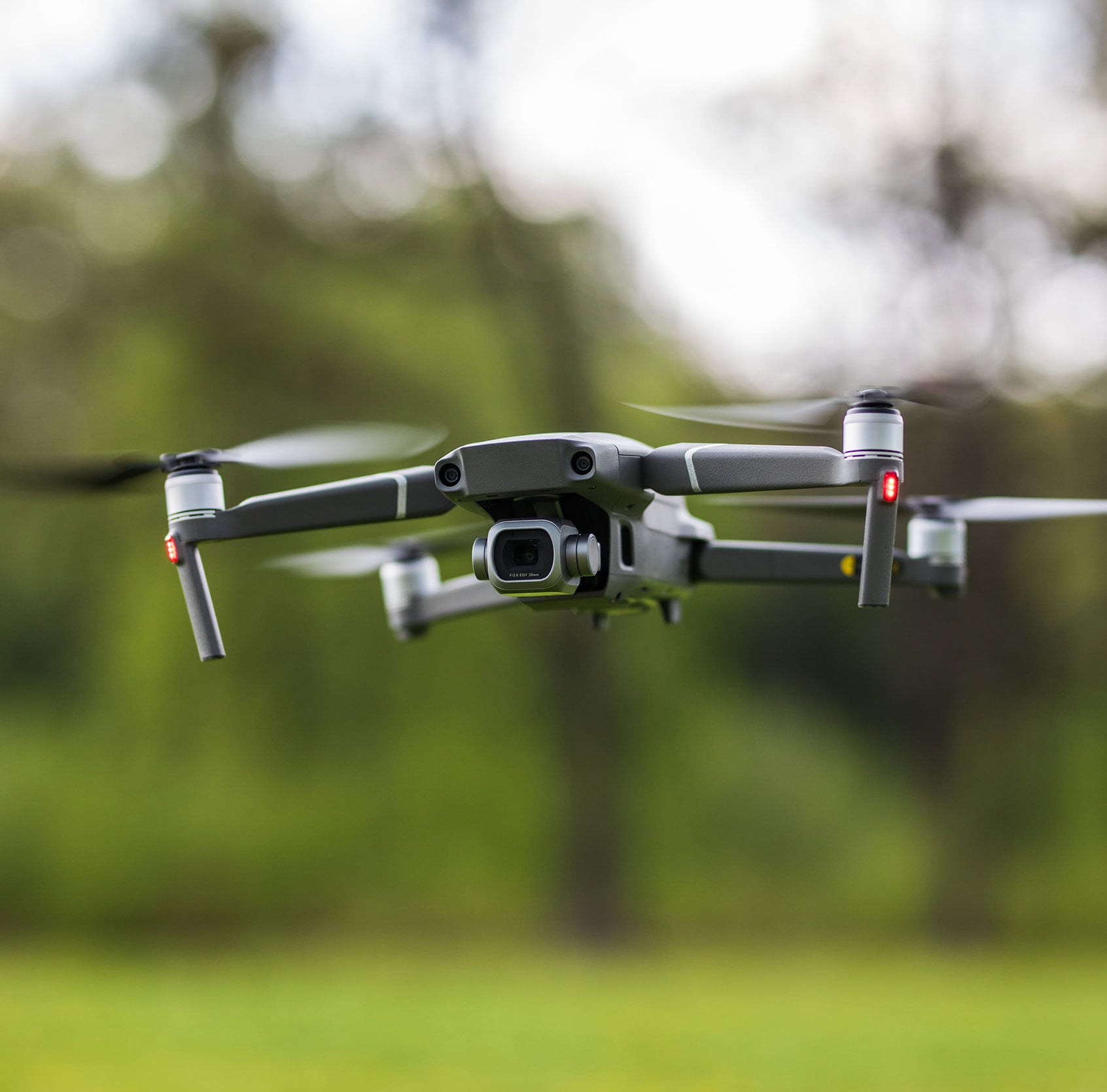
Aerial Project Examples
SERVING
SOUTHWESTERN ONTARIO
Puffin Media works with businesses across:
-
Elgin County
-
Oxford County
-
London
-
St. Thomas
-
Woodstock
-
Port Stanley
-
and surrounding communities.
Questions About Drone Work
Is drone content only for video and photos?
No — it’s also used for mapping visual context, documentation, planning, and marketing.
What makes drone content different from regular photography?
It captures scale, geography, and spatial relationships that aren’t visible from the ground.
Do you provide drone coverage for large sites?
Yes. We regularly work with construction sites, land developments, and large properties.
Can drone content be used for planning or reporting?
Yes. Many clients use aerial visuals for documentation and internal reporting.
Do you operate outside London, Ontario?
Yes. We work throughout Southwestern Ontario including Elgin County, Oxford County, and surrounding regions.
So What’s next?
See Your Project From A Different Perspective
Aerial content helps you understand and present your space with clarity and context.